This coder used old photographs to create a beautiful Google Street View map of New York City in the 1800s
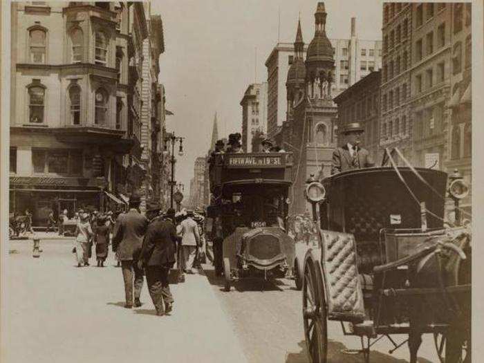
5th Avenue and 42nd Street, 1910

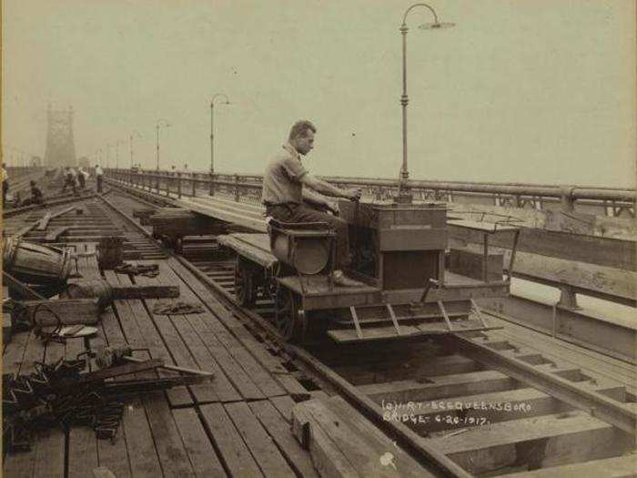
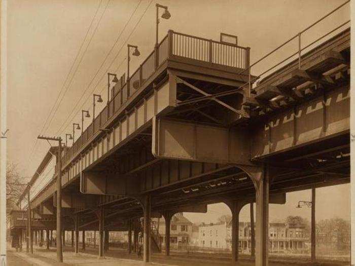
Queensboro Bridge Connection, 1917
5th Avenue and 42nd Street, 1912
Central Park, showing the pond at 110th Street and the Botanical Gardens, 1906

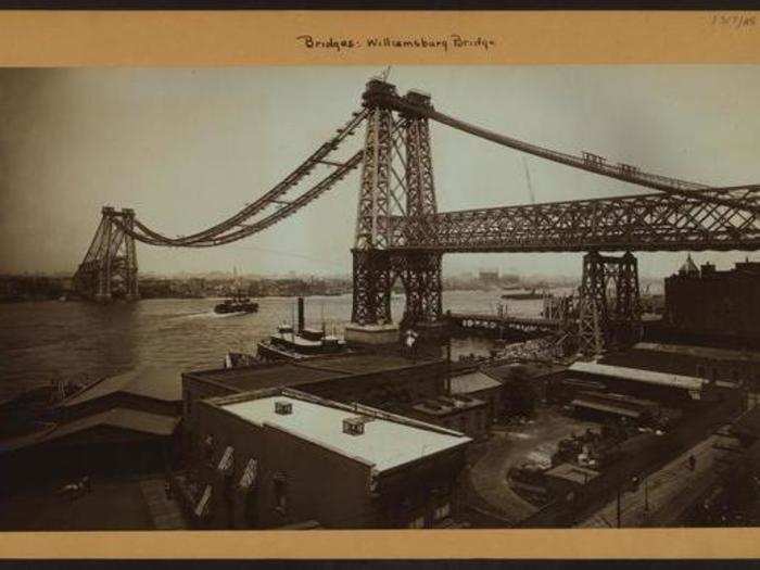
The Williamsburg Bridge under construction, 1903
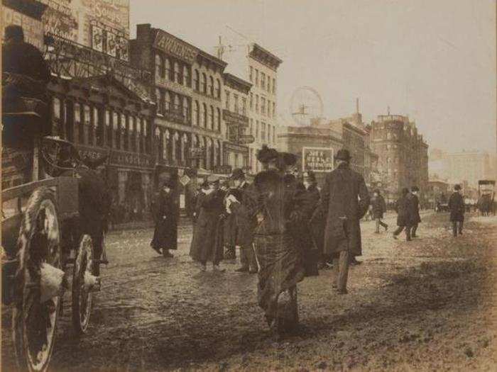
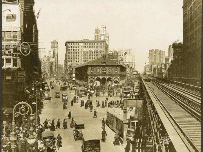
Broadway and West 34th Street, 1901
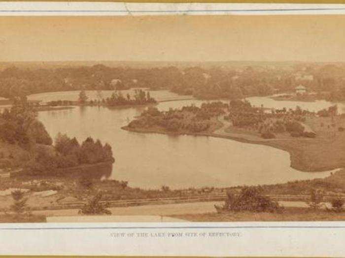
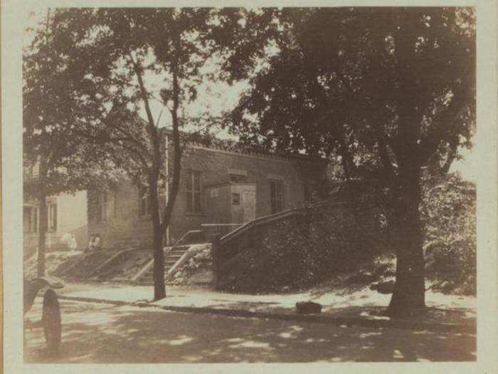
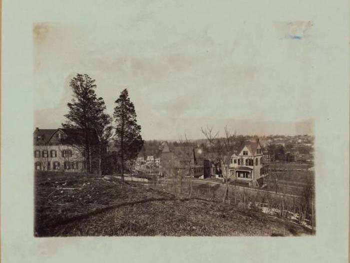
Prospect Park, Brooklyn, 1880
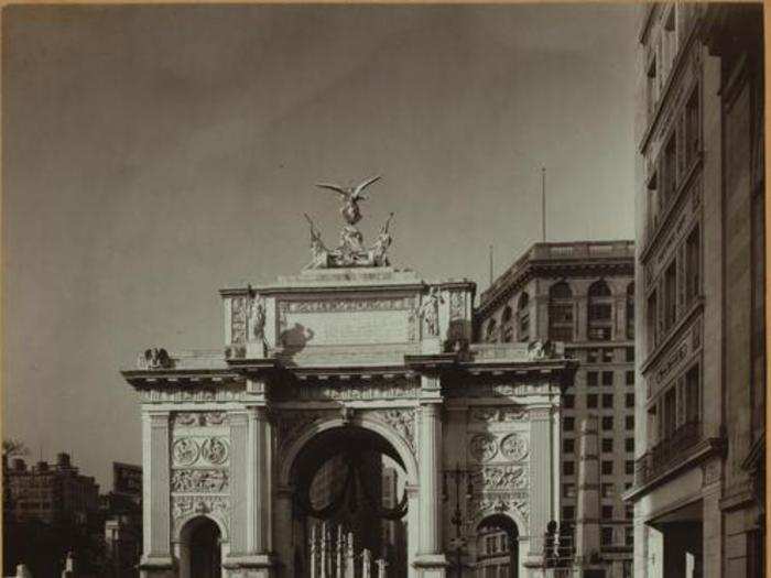
The Victory Arch on 5th Avenue and 25th Street, 1918
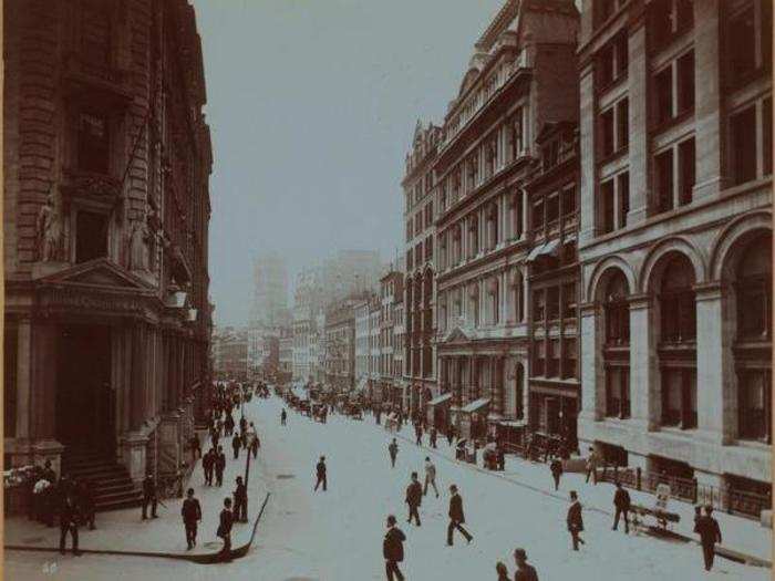
Wall Street, around 1872
Broadway and 34th Street, 1921
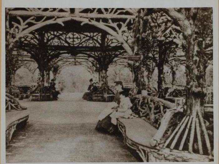
Central Park, near the 6th Avenue and 59th Street entrance, 1864
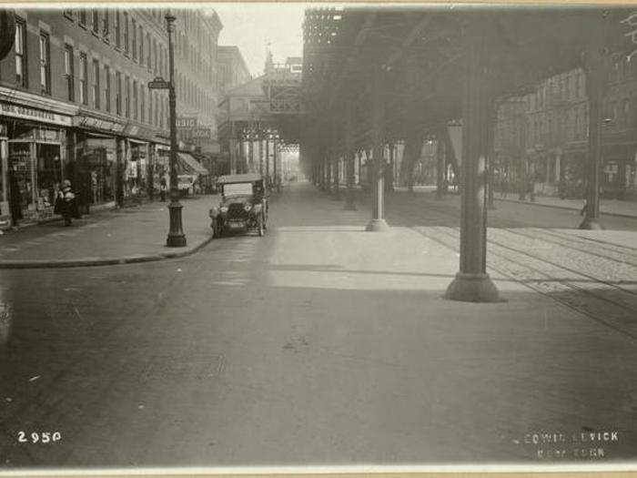
150th Street, 1922
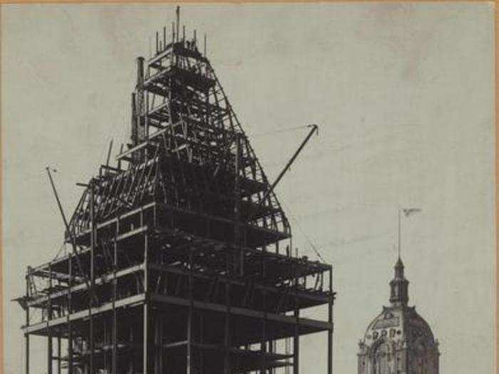
Nassau Street and Wall Street (showing the under-construction Bankers Trust Building and the Hanover National Bank Building), 1911
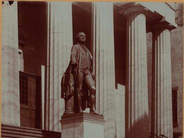
Wall Street and Nassau Street (statue of George Washington), 1900
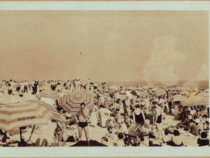
Jacob Riis Park, Rockaway Beach, 1897
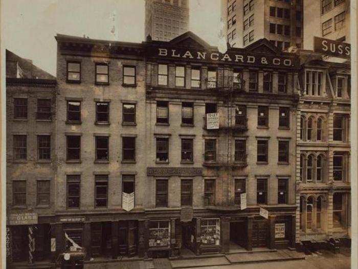
Broad Street (on the left is J.P. Morgan Office), 1900
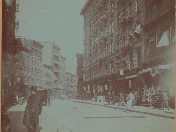
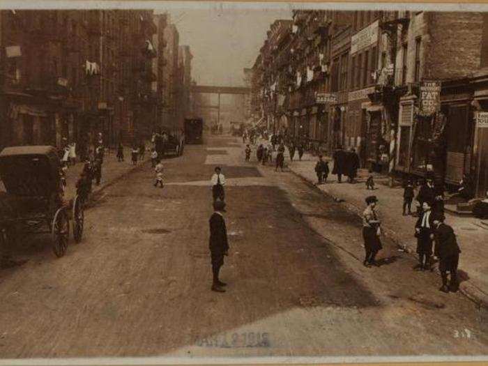
Mott Street, about 1890
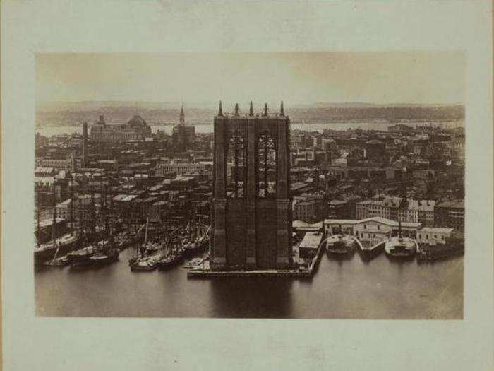
Brooklyn Bridge, 1873
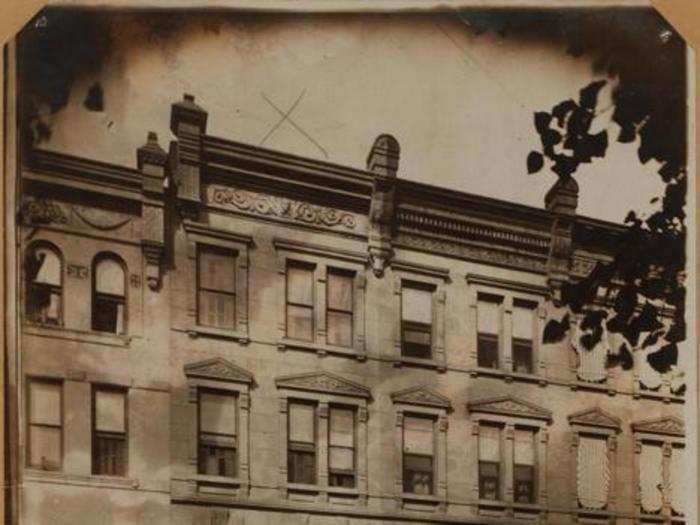
West 88th Street between Columbus and Amsterdam Avenues, 1911
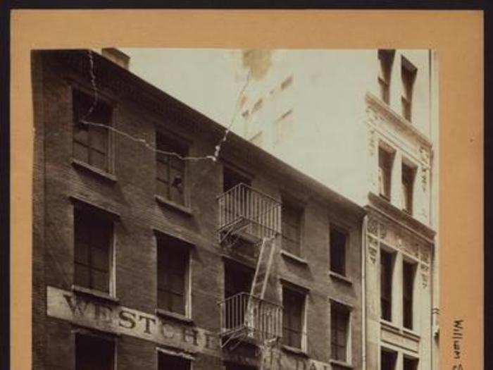
William Street and Maiden Lane, 1915
Maiden Lane and Fearl Street, 1914
38th Avenue between Main and Union Streets, 1922
8th Avenue and 130th Street, 1920
West 111th Street between Fifth and Lenox Avenues, 1920
48th Street and 1st Avenue, 1918
White Plains Road and Burke Ave, around 1917
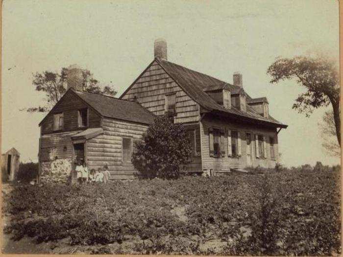
Marble Hill Avenue and West 227th Street, 1906
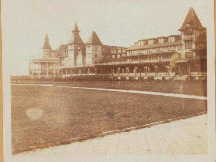
Oriental Boulevard (showing the Manhattan Beach Hotel), 1911
62nd Street between 2nd and 3rd Avenues, 1917
Park Avenue and 51 Street, 1917
Advertisement