Google Street View has made it to Greenland, and it looks amazing
Google has worked in partnership with two government agencies, Visit Greenland and Asiaq, to shoot the 360-degree, panoramic pictures.

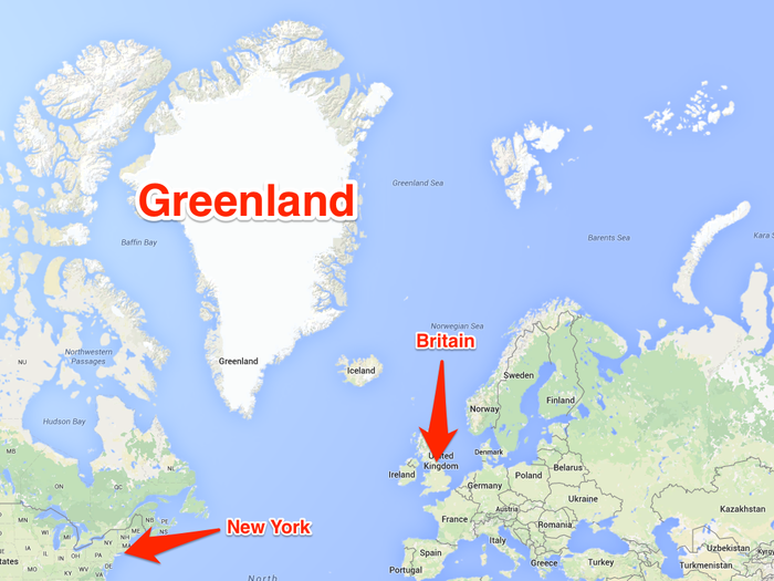
Greenland is the biggest island in the world, and lays between the north of the Atlantic Ocean and the Arctic Ocean.
In case you were wondering, here is where Greenland is: just north-east of Canada. Most of Google's shots are from the very south of the island, which is sparsely populated.
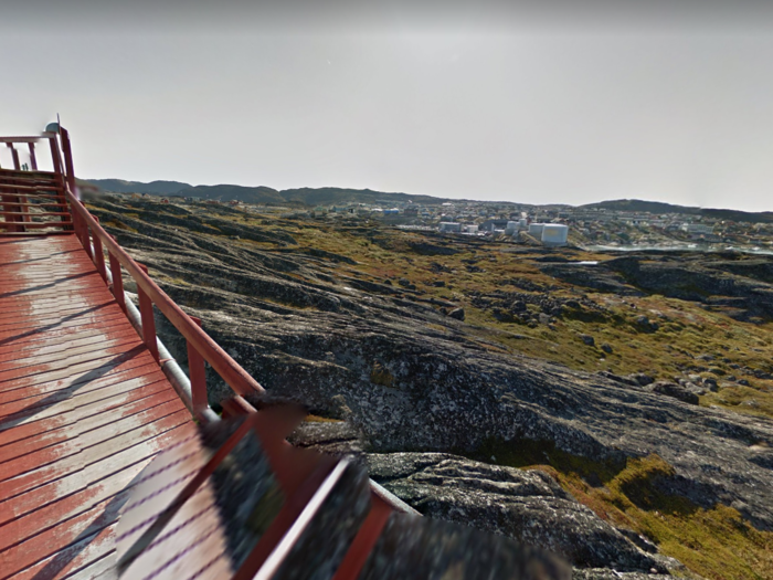
About 56,000 people live in Greenland, most in its capital city Nuuk. Politically, Greenland is an autonomous country within the Kingdom of Denmark.
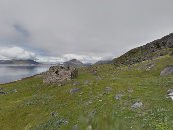
This because Greenland was first colonised by the Vikings, back in the 10th century. They were looking for a route towards the New Continent, America, centuries before explorer Christopher Columbus.
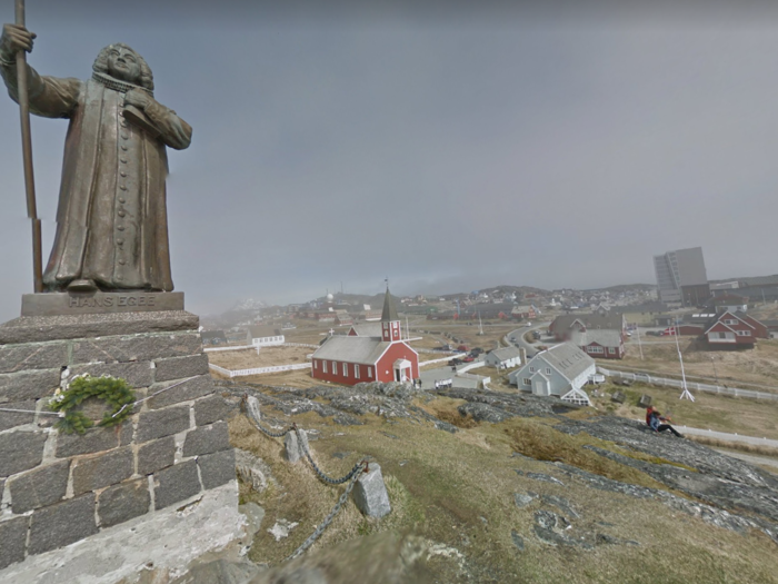
Inside Nuuk there is a statue dedicated to Hans Egede, who founded the city in 1728.
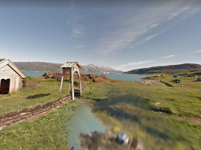
This is what remains of the first Viking colony, set up by Erik the Red in 982. It is now a major tourist attraction.
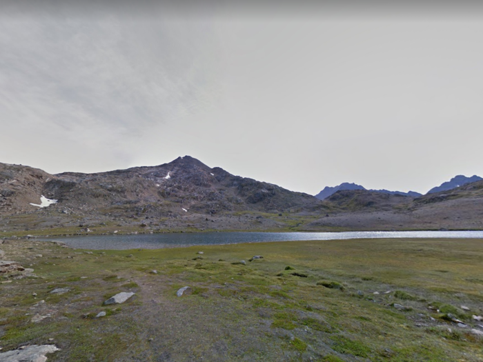
The rest of the country is wild and unpopulated. And the landscapes are gorgeous.
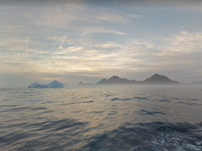
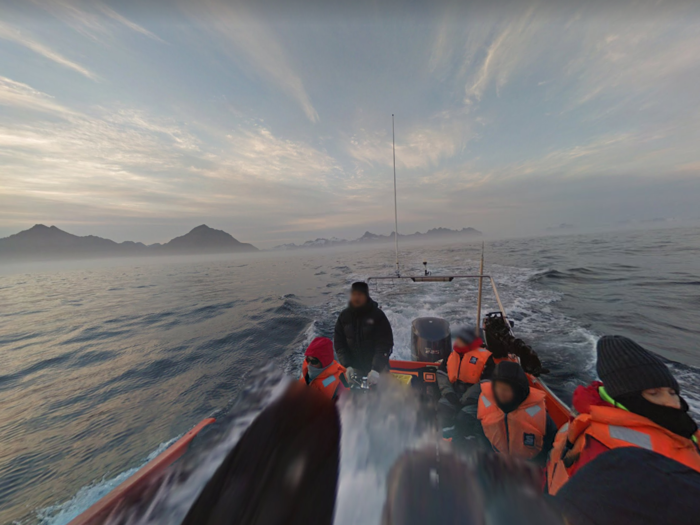
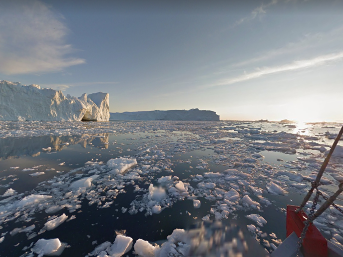
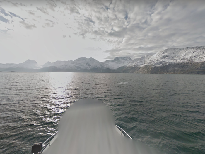
One of the best ways to explore Greenland is by boat, cruising among its fjords. Google did the same when shooting its pictures.

In some of the pictures you can see the crew from the boat that was carrying the camera. You can also spot the mainland in the background.
Greenland is a very mountainous country. The highest peak, Gunnbjørns Fjeld, stands out at 3,695 metres.

Three-quarters of the island is covered in ice. For this reason, much of the surrounding sea is full of icebergs and ice blocks.
It tends to be very cold up there: the average temperature varies from -8 to 7 °C, but in 1954 it was recorded -66 °C.
Popular Right Now
Advertisement