- Home
- slideshows
- miscellaneous
- The 15 most earthquake-prone countries in the world, according to science
The 15 most earthquake-prone countries in the world, according to science
China, a seismically active country with the world's largest population, accounts for roughly half of all earthquake deaths.

Japan sits in one of the most active earthquake zones on the planet: the Pacific Ring of Fire. Fortunately, earthquake-warning systems in the country are second to none.
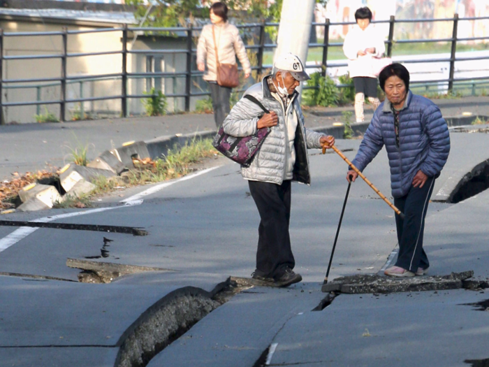
Japan debuted a system in 2007 that detects early shock waves via a network of more than 1,000 seismometers around the island nation. The system then pings phones, TVs, and radios across the country, stopping trains and providing people with a few extra seconds to prepare for the tremors.
That time isn't always enough, though. A quake that hit the northern island of Hokkaido in September killed at least 39 people, as CNN reported.
That 6.7 magnitude tremor was far from the worst the Japanese have seen. A 7.9 quake hit Tokyo in 1923, killing 142,807 people.
Iran straddles the spot where the Eurasian and Arabian tectonic plates butt heads, which is why it sees such frequent quakes.
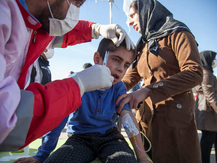
A magnitude-7.3 earthquake that hit the country in 2017 killed more than 400 people. Rescue workers scrambled into action, but mudslides triggered by the quake made their work difficult.
People as far as Baghdad, 200 miles from the epicenter in Iraq, felt the shaking.
"I was sitting with my kids having dinner and suddenly the building was just dancing in the air," Majida Ameer told Reuters at the time. "I thought at first that it was a huge bomb. But then I heard everyone around me screaming, 'earthquake!'"
The Iranian capital of Tehran, which sits near the base of the country’s highest peak, Mount Damavand, is the area of the country that's most at risk.
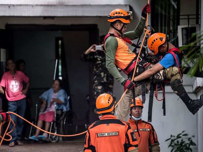
The Philippines, like Japan, is also in the Pacific Ring of Fire. The country is preparing for a big tremor with drills like the one shown here.
The Ring of Fire sits above a crowd of tectonic plates in the ocean. Where the plates meet, older, denser parts of the seafloor get pushed below continental crust. Such areas are called subduction zones.
Indonesia is in the same ring.
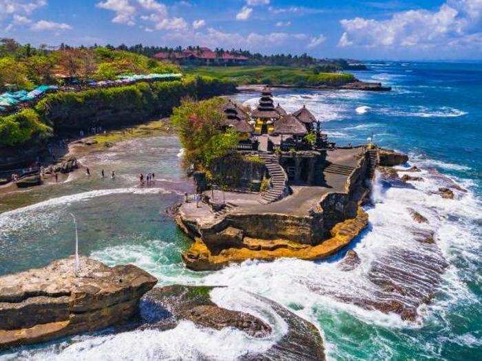
Both Indonesia and the Philippines are essentially surrounded by the majority of Earth's subduction zones, making their spot in the ocean a volatile breeding ground for volcanoes and frequent quakes.
In Turkey, earthquakes are the biggest natural threat. Istanbul, the country's largest city, sits on top of an active fault line.
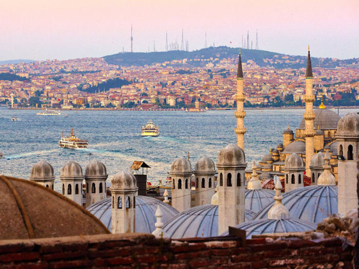
The head of Istanbul's Kandilli Observatory warns that the city — which is home to more than 14 million residents — and the surrounding Marmara Region are due for a serious quake.
"All scientists accept that there will be an earthquake with a magnitude stronger than 7 around the Marmara region but we cannot give a date for it," Haluk özener told Turkish media at a press conference in 2017. "There have been many earthquakes so far and there will be more. The only thing that can be done is to reduce earthquake damage."
But many buildings in the area are at risk of crumbling in a big shake. During the Marmara earthquake that hit the region in 1999, 18,000 people died and 113,000 buildings were destroyed.
Today, the Istanbul office of the Union of Architects and Engineers of Turkey says 2 million buildings in the city are perilously "unsafe."
The population of India is second only to China, which means the potential for loss of life if an earthquake strikes there is also huge.

The area around Delhi sits near the border of the Indian tectonic plate, which brings a high level of risk.
There are also many brick buildings in the country, which can easily crumble and crush people inside.
"Brick buildings dominate the damage and life lost due to earthquakes," Schneider said.
The average annual cost of earthquakes in Delhi alone tops $150 million USD, according to GEM.
Mexico is one of the most seismically active countries on the planet. It sits atop three of the largest tectonic plates on Earth: the North American plate, the Cocos Plate, and the Pacific Plate.
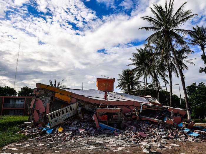
Earthquakes occur anytime these plates grind or butt up against each other.
Mexico City is also located in a former lake-bed whose soft soil can essentially amplify tremors in the area. That makes small earthquakes feel larger.
Mexico City was hit by an 8.1 magnitude quake in 1985, and about 9,500 people died as a result.
According to GEM, the Baja California region of Mexico — which borders California — is the part of the country that's most at risk.
Builders in Nepal are starting to adapt their techniques to make homes and schools more quake-safe.
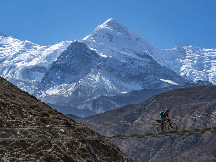
The new GEM maps are being used around the world to enact better building codes. But Schneider said that doesn't mean that traditional building practices, which often involve bricks and adobe mud, need to be replaced with reinforced steel and concrete.
"You can build safe buildings using brick and mortar," Schneider said.
This can involve wrapping a fine steel mesh around older Nepalese buildings to create reinforcement.
"They don't necessarily just throw away their traditional design, but they learn to adapt," Schneider added.
The mountains of Pakistan are also prone to quakes. In 2005, an earthquake there killed more than 76,000 people.
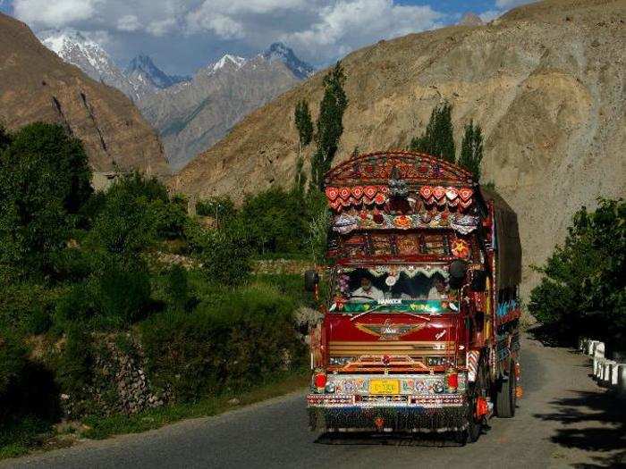
The 7.6-magnitude quake struck the town of Muzaffarabad in the mountains of Kashmir.
Pakistan sits atop both the Indian and Eurasian plates, which is why it sees frequent shaking. Northern areas of the country, where the land is dotted with high-altitude towns like Muzaffarabad, are the most at risk.
Bangladesh is one of the world's most crowded countries. Dhaka, the nation's capital, is the most densely populated city on the globe. In 2016, a GPS study of Bangladesh, India, and Myanmar concluded that the northeastern portion of the Indian subcontinent is very vulnerable to earthquakes because it is colliding with Asia.
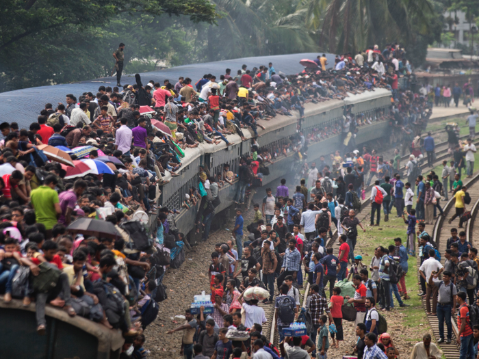
The study suggested that the region could be on top of an active megathrust fault like the one that caused the 9.0 magnitude earthquake in Japan in 2011.
Scientists say at least 140 million people in Bangladesh could be affected in the event of a big earthquake. Geologists have little historical data from the area to use in predictions about such a quake, but they expect it could be huge when it happens: a magnitude 8.2 or bigger.
"We don’t know how long it will take to build up steam, because we don’t know how long it was since the last one,"Michael Steckler, a geophysicist at Columbia University’s Lamont-Doherty Earth Observatory said when his study was released in Nature Geoscience. "We can’t say it’s imminent or another 500 years. But we can definitely see it building."
The subduction zone that could cause the earthquake is located under the Ganges-Brahmaputra river delta — the world's largest. Geologists said it's possible that an earthquake would turn the entire area into quicksand.
Ecuador is vulnerable because the Nazca plate is diving beneath the South American continent. This subduction was responsible for the biggest quake of the 20th century: a 9.5-magnitude quake that hit Chile in 1960.
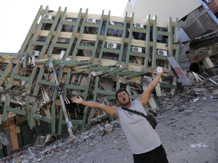
Ecuador's most populous region, the Guayas province, is also the one at greatest risk of an earthquake. Guayas is home to about 3 million people.
About 5,000 people died in 1987, when a 7.2 magnitude earthquake hit Quito, Ecuador's capital. And in 1949, 6,000 people died due to a 6.8 magnitude quake that struck Ambato in central Ecuador.
One of the worst quakes to ever hit Guatemala led to 23,000 deaths in 1976. The 7.5-magnitude quake struck Chimaltenango, which is less than 40 miles west of the capital, Guatemala City.
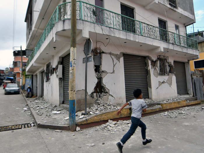
The country’s Guatemala region — which includes Guatemala City — is the area most at risk of an earthquake, according to GEM. A 6.2 magnitude quake killed 25 people in Guatemala City in 1991.
In 2012, 48 people died when San Marcos, which is in western Guatemala, was hit by a 7.3-magnitude quake.
In the United States, a violent earthquake leveled San Francisco 112 years ago. Roughly 3,000 people were killed during the disaster, which ruptured 296 miles of California coastline and left most of the city's residents homeless.
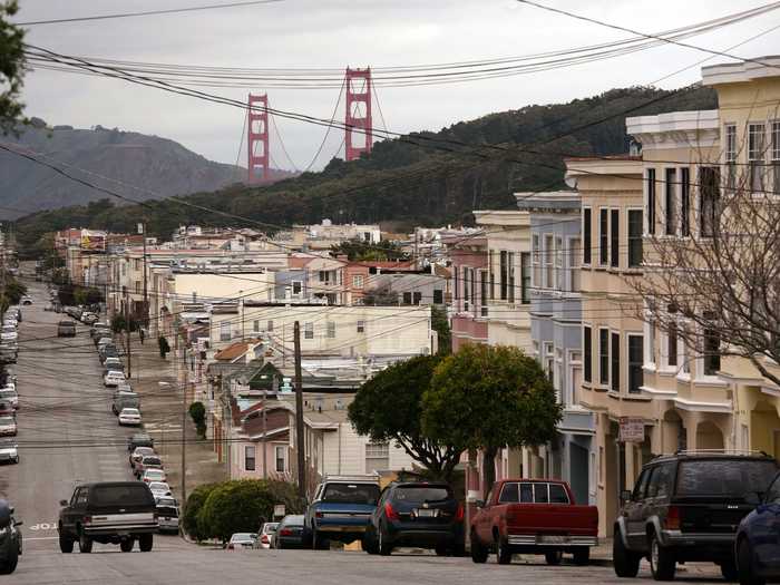
San Francisco is constantly at risk of earthquakes. The well-known San Andreas Fault is one of seven "significant fault zones" in the Bay Area, according to the US Geological Survey. In 1989, the 6.9-magnitude Loma Prieta earthquake rocked the Bay Area and resulted in 62 deaths. The city may be due for another big shake soon.
One recent report suggests there is a 76% chance that the Bay Area will be hit by a magnitude 7.0 earthquake within the next 30 years.
Outside of California, the Seattle area is the most at-risk earthquake spot in the US. If the entire Cascadia subduction zone — which spans 700 miles off the coast of the Pacific Northwest — were to give way at the same time, the resulting earthquake could have a magnitude between 8.7 and 9.2.
According to The New Yorker, officials estimate that nearly 13,000 people would die in a Cascadia earthquake and tsunami event. The chance of this happening in the next five decades is one in three.
Peru is also located along the boundary of the South American plate and the Nazca plate. In 1970, an earthquake led to more than 66,000 deaths in Peru.
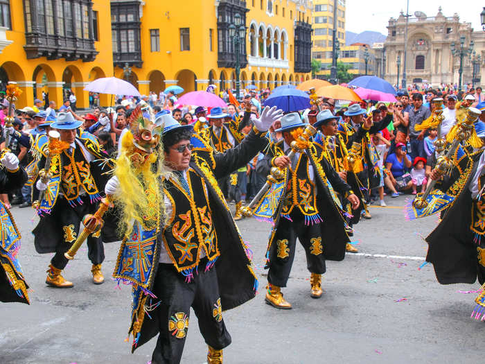
The 7.9 magnitude quake struck Pisco, a coastal city in western Peru.
According to GEM, the region surrounding Lima, Peru’s capital, is the part of the country at greatest risk of earthquakes. The Arequipa region in southern Peru is the next-most vulnerable.
Popular Right Now
Popular Keywords
Advertisement