- Home
- Science
- Environment
- Photos show how a 'bomb cyclone' is slamming the East Coast with walls of water and sending kayakers into the streets
Photos show how a 'bomb cyclone' is slamming the East Coast with walls of water and sending kayakers into the streets
In Boston, a row of luxury condos were already flooding on Friday morning, before the worst of the nor'easter got underway.

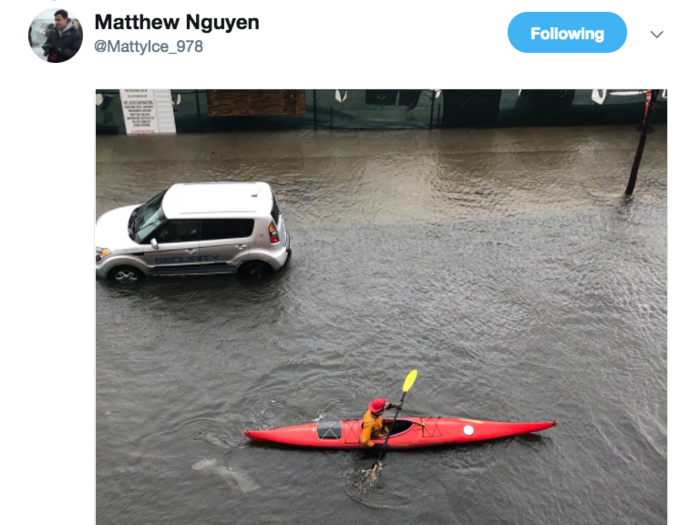
At around 10 a.m., the tide in Boston was already high enough for this kayaker to head out into the flooded streets. The National Weather Service recorded the tide at 14.67 feet high shortly after 11 a.m. Tuesday.
Source: National Weather Service, Boston
By 2 p.m. Eastern, there were reports of nearly 1.6 million power outages along the Eastern seaboard.

Fairfax, Virginia was especially hard-hit, but the power outages cropped up all along the Eastern seaboard, with pockets of suburbs outside DC, New York, and Boston all falling off the grid, WTOP reported.
The National Weather Service said the nor'easter will stay powerful through the night, and warned that conditions could worsen into the weekend.
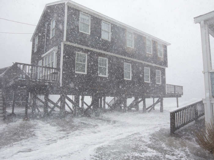
Damaging winds higher than 75 miles per hour could continue into Saturday night in some spots on the cape.
In the seaside Boston suburb of Duxbury, the police were out in Abrams Hill, where things weren't looking good for this brown house.

Source: @Duxbury_Police/Twitter
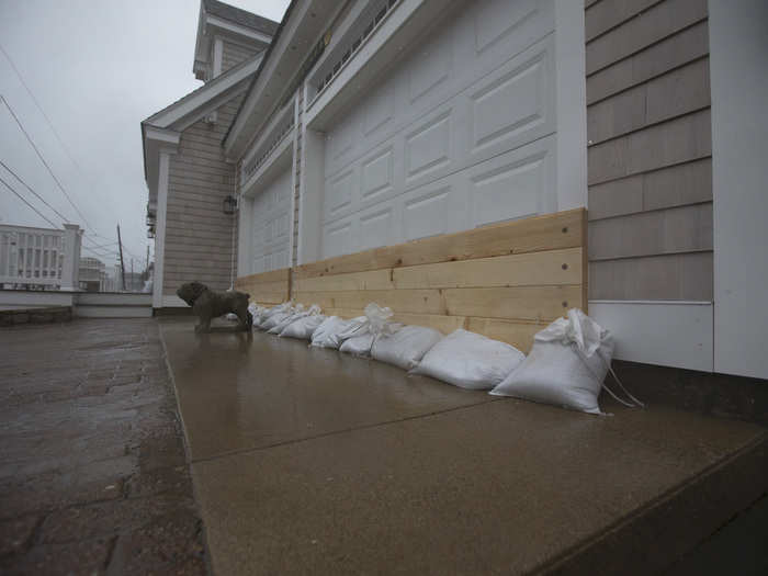
The National Weather Service in Boston said the state's entire coastline could see waves gushing up to 35 feet high into Saturday morning.
Source: National Weather Service
On the East Boston waterfront, Matthew Nguyen recorded this footage of waves rolling into the streets.

Source: @MattyIce_978/Twitter
The coastal town of Scituate, mid-way between Boston and Plymouth, was virtually underwater Friday.
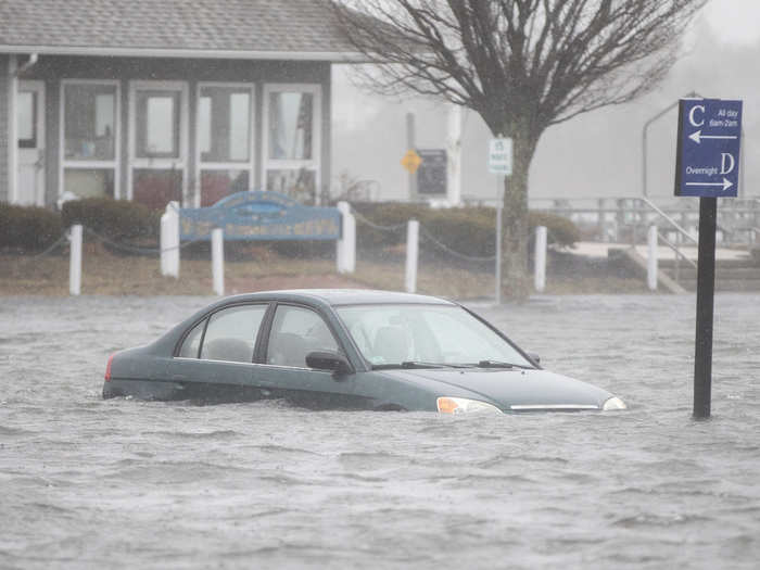
Waves in the town were recorded 20 feet high, and the tide rose to 14.7 feet Friday morning.
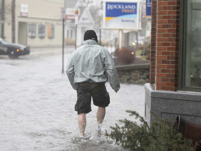
Source: National Weather Service
Down the coast in New York, the weather got so bad that both LaGuardia and JFK issued ground stops.
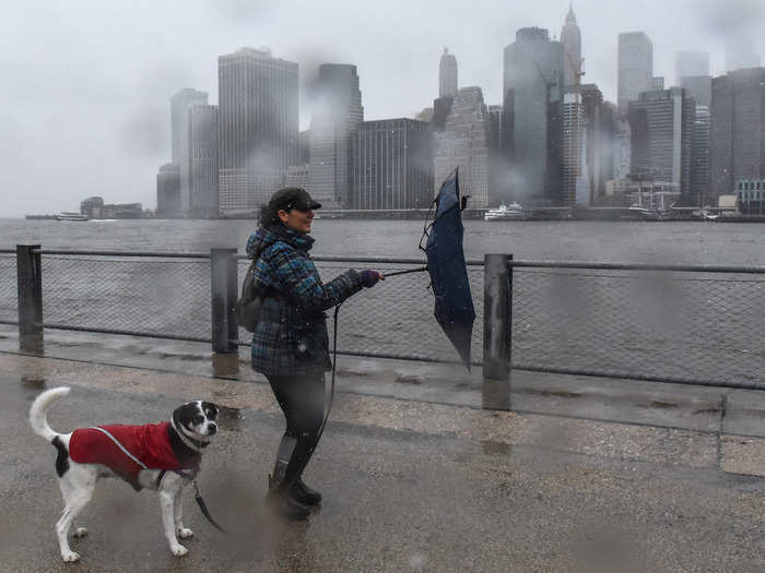
The winds in New York were especially bad, gusting up to 60 miles per hour, according to the National Weather Service. On Twitter, people started referring to the storm as #windmageddon.
Airlines canceled flights out of all the major airports in the area, including in Newark, New Jersey. JFK and LaGuardia were both temporarily shut down.
The wind in Washington DC was so bad that one plane taking off reported all the passengers were throwing up.
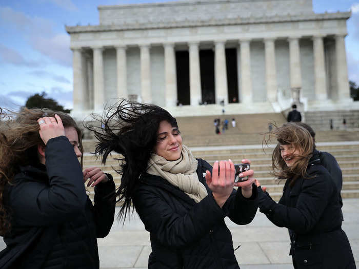
An official NOAA report read that "pretty much everyone on the plane threw up." The pilots said they almost did, too.
The storm is just the latest in a rash of severe weather events recorded around the world this year. Just days ago, Rome recorded its second snow in 33 years.
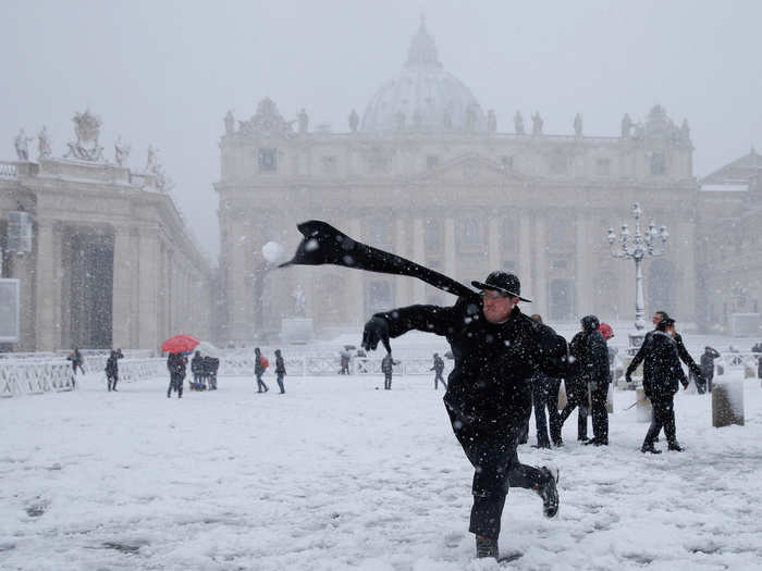
In Michigan, locals are marveling at the dense, blue, arctic-style ice cropping up on the shores of the Great Lakes.
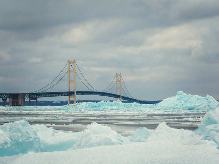
It's a rare sight. Experts who study the Great Lakes aren't sure why they're seeing so much polar-colored ice this year, but NOAA Great Lakes Environmental Research Laboratory scientist Anne Clites told Business Insider that records show there was a lot of thick ice in the straits this year that went away quickly, as things got warmer and windier.
Californians are also seeing snow this week, as a major winter storm rolls across the northern part of the state.
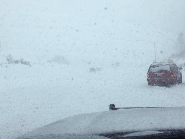
Heavy snow and strong winds landed in the Sierra Nevada, where officials told people to stay off the roads. Further south, people are worried about another rash of dangerous, deadly mudslides in a region where 20 people were killed by slides in January.
And Boston is still reeling from another of its worst storms, that froze entire neighborhoods in ice just weeks ago.
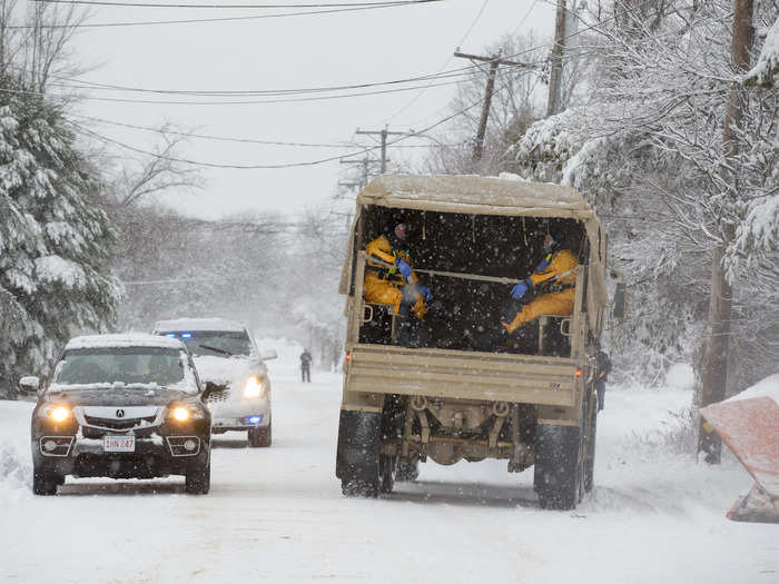
Two of Boston's top 20 floods of all time have happened already in 2018, meteorologist Eric Holthaus reported. He says this storm "will bring the worst coastal flood in Boston’s recorded history."
It's another pressing reminder that as the Earth's climate is changing, more frequent and extreme weather events are on the way.
Popular Right Now
Popular Keywords
Advertisement