A wine country neighborhood was leveled by the fires ravaging California - here are the photos
The fate of Coffey Park and its residents is unknown.

An estimated 3,500 homes and business were destroyed in the fires. Local officials and residents won't know the full extent of the damage until evacuation orders are lifted.
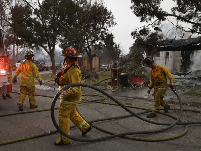
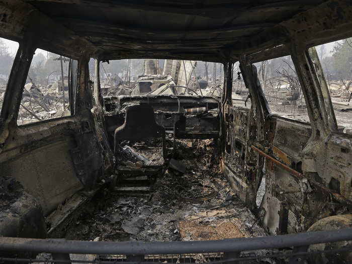
Even the aluminum wheels on cars melted and ran like rivers of mercury down driveways.
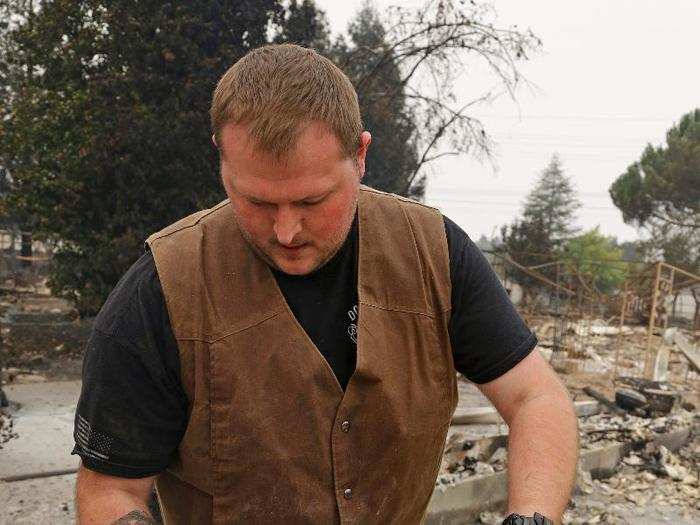
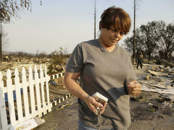
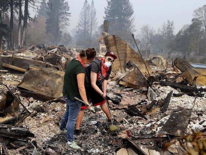
Luke Baier salvaged a block of concrete that he and his brothers left their handprints on as children. There was little else left of his house.
Her wedding ring, along with her son's wrestling trophy, had survived the blaze.
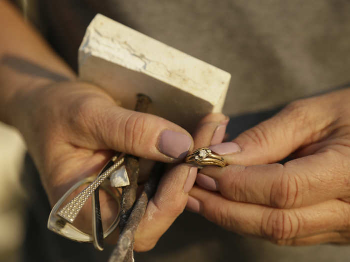
Tammy Christiansen searched the remains of her home and found a glimmer of hope.
About 8,000 people lived in Coffey Park and a neighboring subdivision.
Source: San Francisco Chronicle
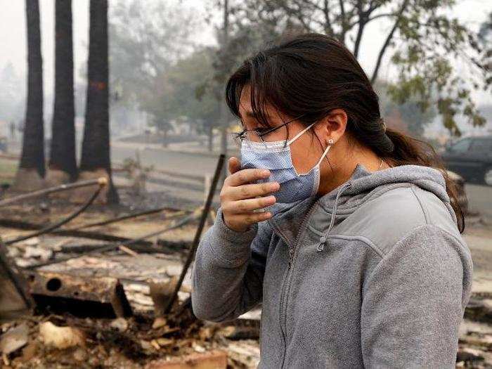
"A few hours ago, we had a house," fellow resident Chavette Chaney told the San Francisco Chronicle. She clutched her husband's arm and cried in their blackened driveway.
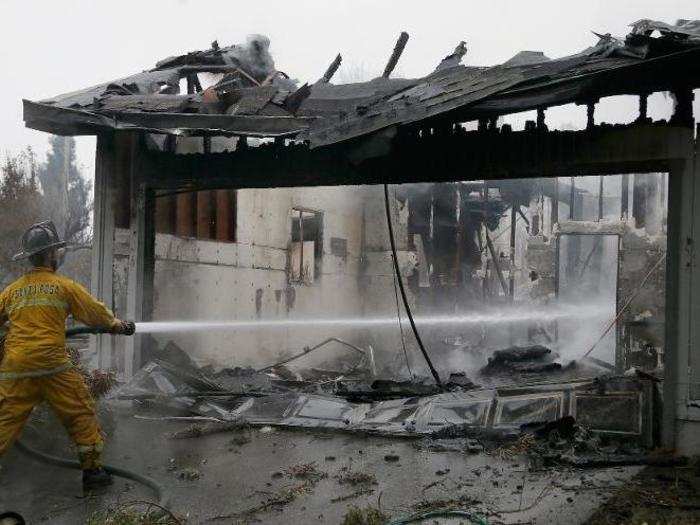
Lisa Layman, who lived in Coffey Park for more than 20 years, couldn't recognize her home when she returned Tuesday. "It all just looked like junk," Layman told the Times.

Source: New York Times
All of the gray regions are burned homes, while red shows relatively unscathed plots of land.
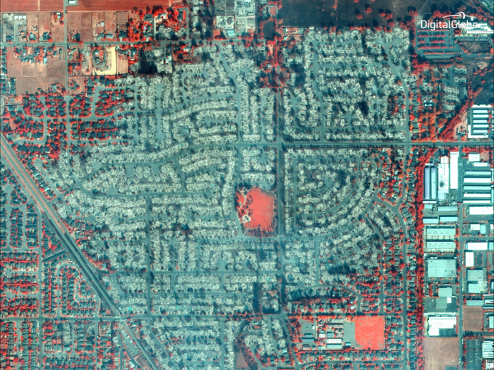
Satellite images provide a different view. DigitalGlobe, a satellite-imaging company, released some of the first close-up views of the disaster from orbit. Here's Santa Rosa.
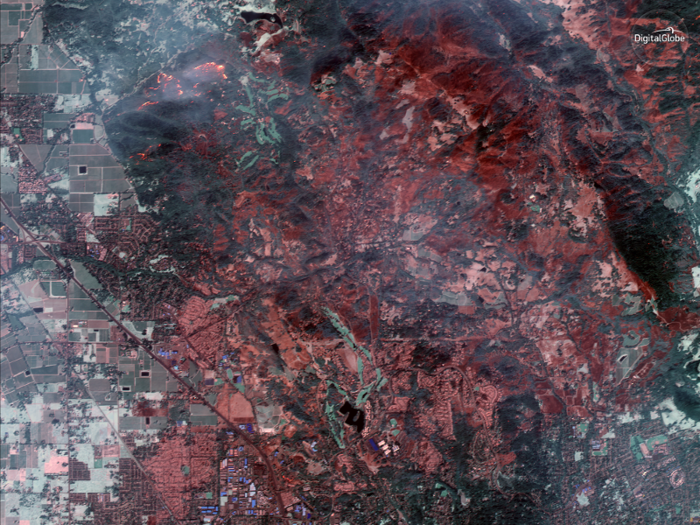
The company took these images early this week with its WorldView-3 and GeoEye-1 satellites.
"Some of these are natural color, while others are shown in the Very Near Infrared (VNIR), where burned areas appear gray and black and healthy vegetation is red," DigitalGlobe told Business Insider's Dave Mosher in an emailed statement.
Coffey Park, which gives the neighborhood its name, was also untouched.
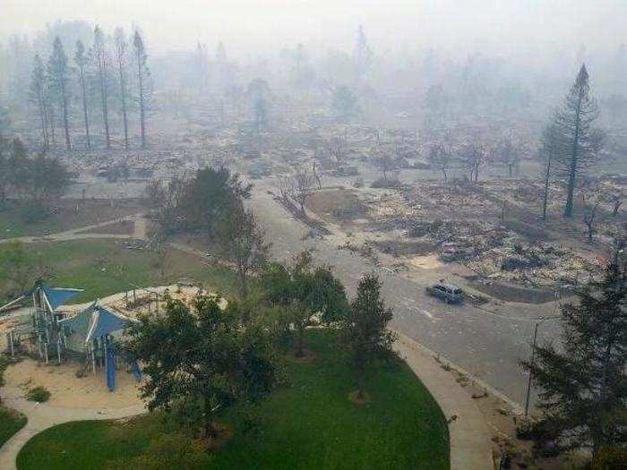
From above, you can make out the erratic nature of the burn. In a cul-de-sac, homes on one side of the street were charred in the flames, but a colorful few appeared to be unscathed.
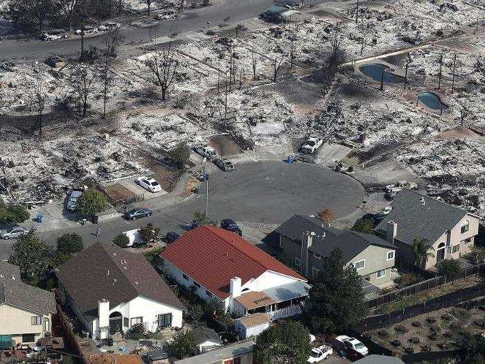
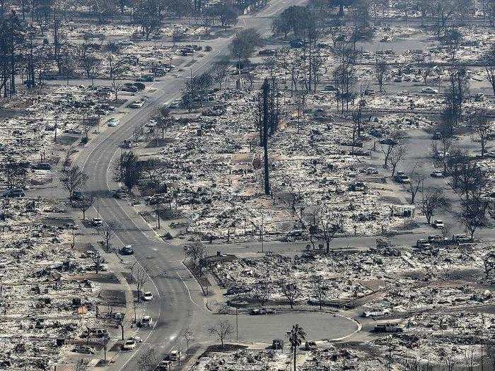
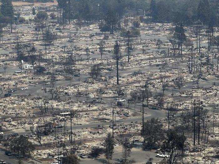
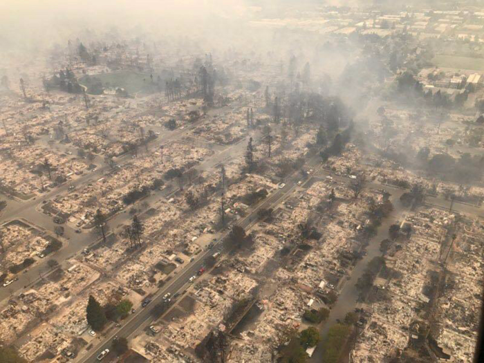
Aerial photos taken in the days after the fire show hundreds of homes turned to rubble.
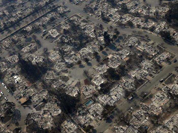
After the Tubbs fire passed through, Coffey Park was gone.
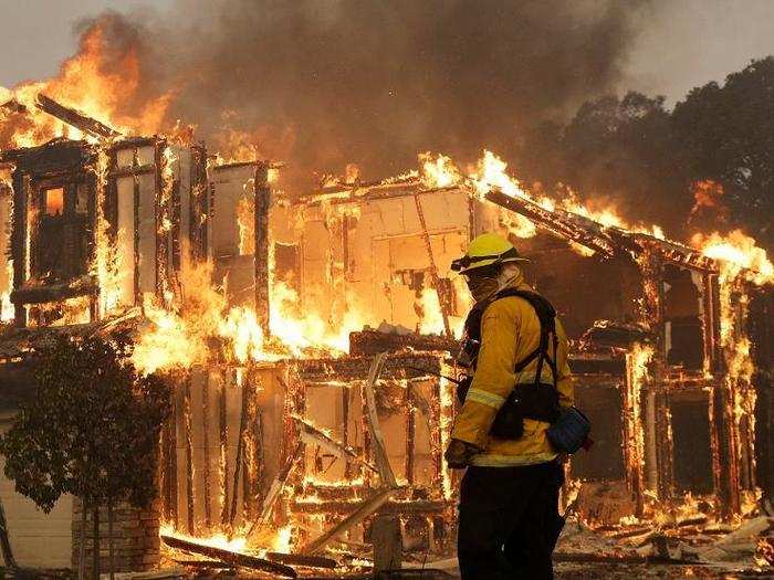
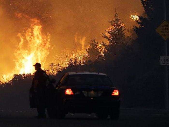
Police cars came through Coffey Park around 1:30 a.m on Monday., telling people to clear out over the loudspeaker. "We had a half-hour to pack everything," a resident told the New York Times.
Source: New York Times
Two of the largest fires — the Tubbs and Atlas fires — are believed to have begun near Highway 128 in Napa. Strong, dry winds fanned the flames from ridge top to ridge top overnight.
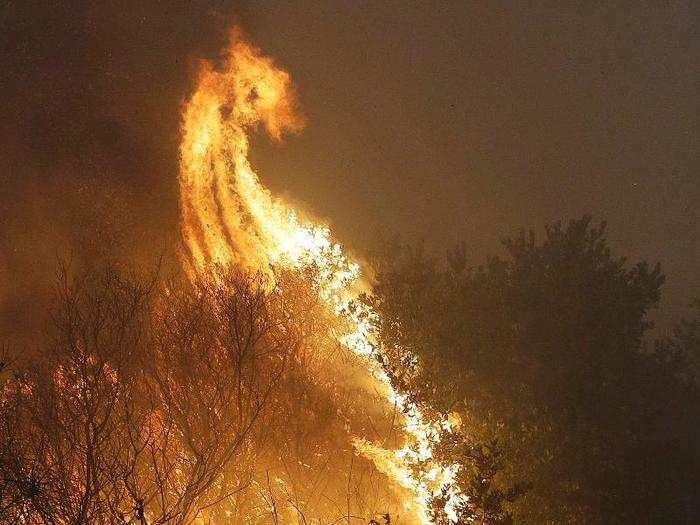
Their quiet corner of wine country was consumed by chaos in the early hours of Monday.
Coffey Park has been described as a "little slice of the American dream," where a vibrant mix of Latinos, Vietnamese, Filipinos, Indians, and white people lived in modest homes.
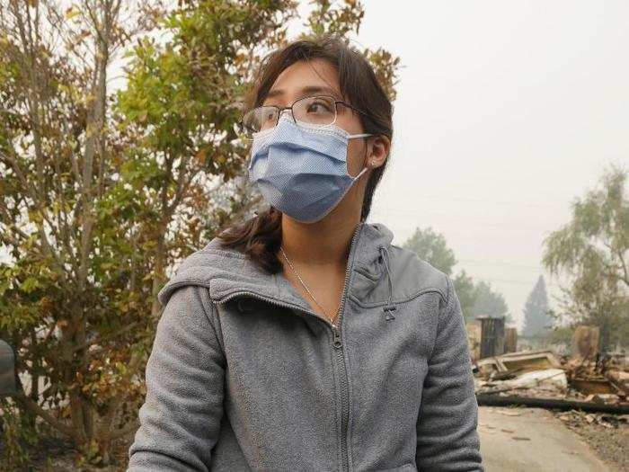
"It looks like a bomb went off," said one resident. "A nuke bomb," added her husband.
Source: New York Times
As the hot zones cool and smoke clears, residents have begun to return to Coffey Park.
An aerial photo taken on Monday shows the devastation left behind.
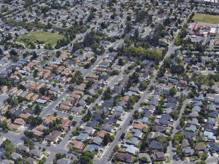
Here's what Coffey Park looks like on Google Earth.
Popular Right Now
Popular Keywords
Advertisement